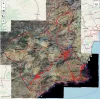
Australian cartographic viewer
Imagen
Body
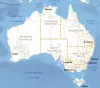
Official Geoinformation Page Government of Australia Geoscience:
http://gaservices.ga.gov.au
Official Geoinformation Page Government of Australia Geoscience:
http://gaservices.ga.gov.au
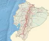
Official geoinformation page of the Military Geographical Institute of Ecuador:
http://www.geoportaligm.gob.ec
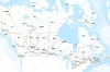
Official Geoinformation Page Government of Canada; Natural Resources Canada; Earth Sciences Sector; Canada Centre for Mapping and Earth Observation (CCMEO):
https://www.nrcan.gc.ca
Mapping used:
For more information and to download cartography:
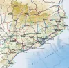
http://portaleslr.carm.es/web/sitmurcia
French IGN official viewer page:
https://www.geoportail.gouv.fr/carte
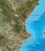
For more information and download of cartography of the Valencian Community:
http://www.icv.gva.es
More information and cartographic files to download at:
http://www.icgc.cat/
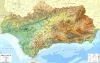
For more information:
http://www.ideandalucia.es/portal/web/ideandalucia/
Mapping viewer with US spatial data infrastructure services, offered by different public bodies of its administration. Allows you to explore topographic maps, orthophotos, relief or hydrography of the US.
Mapping used: