
Map Viewer

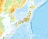
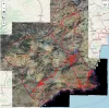
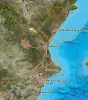
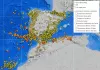
Earthquake map with seismic information for Spain

Imagen
Body

Cartography and data with seismic and volcanic information from Spain. The added layers provide parameters of seismic hazard, seismic stations, volcanic watch stations and the IGN earthquake catalog.

Earthquakes cataloged in the IGN with day and time information, depth, magnitude, location and intensity:

Japan cartographic viewer

Imagen
Body

Published mapping:

  • Topographic at different scales throughout the Japanese territory and derived from it (light, white, English)
  • Detailed topographic survey at 1:25,000 scale
  • Air flights in different years: current, 2007, 2004, 1988-1990, 1984-1986, 1979-1983, 1974-1978, 1961-1969, 1945-1950, 1936
  • Land uses
  • Volcanoes
  • Lakes
  • Continuous geological mapping, faults, terrain conditions
  • Forest cover

Data sources:

Cartographic viewer of Belgium

Imagen
Body

- Topographic maps of Belgium offered by the Institut Géographique National (IGN) at different scales (1:250,000, 1:100,000, 1:50,000, 1;25,000). The maps show all the topics of the Topogeographic Inventory of the Belgian Territory (ITGI) prepared and updated by the National Geographic Institute: land use, transport, hydrography, buildings. and constructions, reliefs, cartographic labeling and place names.